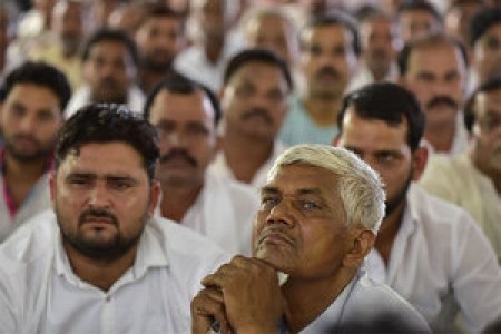
Development decisions are often framed and made with limited engagement with local communities. A new book examines collective action and shows how it can provide us with a better definition of development that ensures its benefits and risks are shared more fairly.
WLE, in partnership with the Wageningen Centre for Development Innovation, ZEF Center for Development Research, and the Global Landscape Forum, is co-hosting a course during the GLF in Bonn from December 11-22 on what it means to take a landscape approach, both in terms of a biophysical entity, but also from an economic and governance perspective.
In a first-of-its-kind initiative in flood-prone Bihar, the International Water Management Institute (IWMI) is helping flood-affected farmers with Index-Based Flood Insurance (IBFI).
A team from IWMI visited farmers on Friday to collect more information from ground zero after the floods receded — and to assure farmers that they would get their insurance money.
From the IFPRI Blog, Ruth Meinzen-Dick explores the potential of experimental games to help communities better manage their jointly used resources, like groundwater for better irrigation practices. Written on the occasion of World Water Week in Stockholm.
Water experts estimate that only 4 to 7 percent of arable land is irrigated in Sub-Saharan Africa (SSA), the lowest ratio across the world. A new special series on small-scale communal irrigation in South-Eastern Africa is calling for donors to develop a viable, sustainable and inclusive business model for small-scale public irrigation schemes in Sub-Saharan Africa.
In order to be able to effectively respond to severe drought, governments need almost real-time data on moisture levels and vegetation. IWMI, through WLE and CCAFS, is providing this information to governments in South Asia.
CGIAR will host 4p1000, a new initiative which places soils at the heart of climate solutions. To help us halt the warming of our world, it is time to take a good look beneath our feet. Capturing soil carbon in soils is one of our best bets for mitigating significant greenhouse gas emissions.
As local disaster management authorities rush to respond to ongoing, severe floods in Northeast India, researchers at the International Water Management Institute (IWMI) are providing valuable support in the form of rapid-response maps, based on high-resolution satellite images.
From IUCN Water. The Tana River, Kenya's Liveline. The Tana, Kenya's longest river, flows for over 1,000 kms with a catchment area of 95,000 km² (roughly the size of Portugal). The River Basin has significant development opportunities for hydropower, domestic water provision, and irrigation - planned as part of Kenya's Vision for 2030.